About Google Maps App
Google Maps is Google's consumer mapping and navigation app for finding places, planning routes and moving between locations. It combines turn-by-turn directions with live traffic, public-transport information, local business details, reviews, Street View, offline maps and other planning tools. This page focuses on the everyday Google Maps app, not the separately billed Google Maps Platform APIs used by developers.
What it does
Navigation
| Travel modes | Driving, walking, cycling and public transport where supported |
|---|---|
| Traffic | Live traffic, incidents, road closures and automatic rerouting |
Discovery
| Places | Business and place search with photos, reviews, hours and other listing details |
|---|
Planning
| Offline maps | Download supported map areas for use when signal is limited |
|---|
Visuals
| Street View and Immersive View | Street-level imagery and supported immersive previews for places and routes |
|---|
Devices
| Wear OS | Search and navigation tiles or complications on compatible Wear OS devices |
|---|
What can you do with Google Maps?
Google Maps brings several travel and local-search jobs into one app. Current official features include:
- Turn-by-turn navigation for driving, walking and cycling. - Public-transport routes and real-time updates where supported. - Live traffic, incident information and automatic rerouting. - Local search for restaurants, shops and other places, with photos, reviews, hours and useful details. - Street View for checking streets, entrances and surroundings before a visit. - Immersive View for supported landmarks, routes and areas. - Offline maps for selected areas when mobile signal is limited. - Saved lists that can be shared with other people.
Feature availability varies by country, city, device and account.
Who is Google Maps best for?
Google Maps is a strong fit for people who want navigation and local discovery in one place. A traveler can search for a restaurant, compare opening hours and reviews, save it to a list and then navigate there without moving between several apps.
It is also useful for commuters who switch between driving, walking, cycling and public transport. People who only need driving alerts may prefer a more focused navigation app, while businesses building maps into their own software should evaluate Google Maps Platform instead of treating the consumer app as a developer product.
How does navigation work in Google Maps?
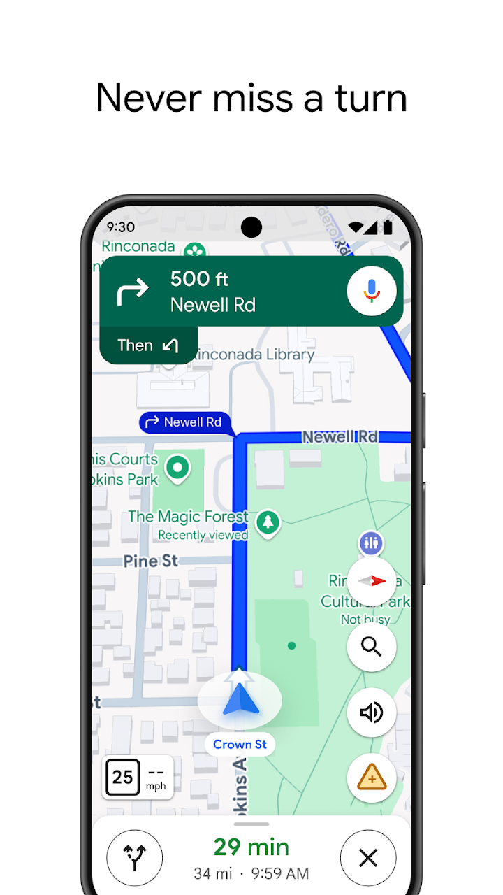
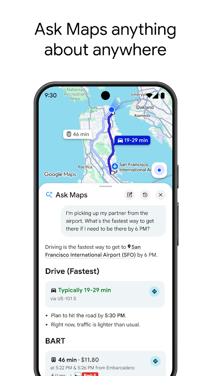
Google Maps provides real-time, turn-by-turn voice and on-screen navigation. It uses live traffic, incidents and road closures to compare routes and can reroute automatically when conditions change. Public-transport users can see route and schedule information where supported, and the app can also help users locate bike or scooter rentals in supported areas.
Google states that normal navigation is not intended for oversized or emergency vehicles. Organizations with specialist routing requirements should therefore use a product designed for their vehicle type and operational needs instead of relying on the consumer app.
How useful is Google Maps for finding places?
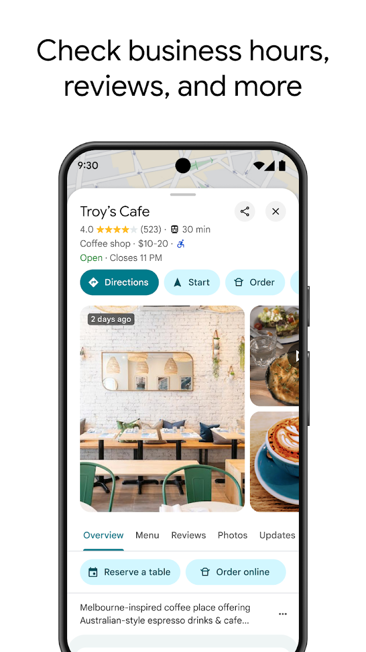
Local discovery is one of the main differences between Google Maps and a navigation-only app. Google says Maps includes information for more than 250 million businesses and places. Users can browse photos and reviews, check opening information, filter restaurants and see how busy some places are before visiting.
That breadth can save time when planning a trip, but listing information is not guaranteed to be perfect. Business details, user contributions and opening information can change, so important reservations, accessibility requirements or time-sensitive details should be confirmed with the business when necessary.
Does Google Maps work offline?
Google Maps lets users download supported areas for offline use. This can help when traveling through places with poor mobile service or when a user wants to reduce dependence on a live connection.
Offline use does not make every live feature available. Traffic conditions, some public-transport updates, fresh place information and other connected functions depend on current data. Travelers should download needed areas before losing connectivity and understand that an offline map is not the same as the full online experience.
How much does Google Maps cost?
The consumer Google Maps app is not sold as a separate navigation subscription. The Google Play listing distributes it as a Google consumer app and notes that it contains ads. Normal mobile-data or carrier costs can still apply when using live navigation and map data.
This should not be confused with Google Maps Platform. Developers who embed Google mapping services in websites or applications use separately billed APIs and SDKs with pay-as-you-go SKU pricing, free monthly usage caps and volume discounts. Those developer charges do not represent the price of the consumer Google Maps app.
What privacy and data considerations should users know?
Maps can use location and other account information to provide navigation, saved places and personalized experiences. Google Play's current data-safety disclosure says the app may collect location, personal information and other data types, uses encryption in transit and provides a way to request data deletion.
Users should review location permissions and account settings according to how they use the app. People who do not want continuous location access can adjust device permissions, although restricting access can also limit navigation or location-based features.
When is Google Maps a better fit than Waze or Apple Maps?
Google Maps is often a better fit when a user wants more than driving directions. Its combination of business discovery, public transport, walking and cycling routes, Street View, saved places and navigation makes it useful for mixed travel and local search.
Waze is more driving-focused and emphasizes community-powered road conditions and rerouting, which can make it attractive to frequent drivers. Apple Maps can be a natural choice for users who want deep integration with Apple devices and services. The better option depends on device ecosystem, travel modes, local coverage and whether the user values local discovery or a more focused driving experience.
What are Google Maps' main limitations?
Google Maps is broad, but not every feature is available everywhere. Transit coverage, Immersive View, certain local details and other functions can vary by market. Live information can also change faster than a stored listing or map contribution is updated.
The app is not a specialist fleet-routing or emergency-navigation system. It also depends on location data for many of its most useful functions. Users who need strict privacy controls, offline-first navigation, specialist vehicle routing or a simpler driving-only interface should compare alternatives before relying on Google Maps as their only navigation tool.
Who should choose another mapping app?
A driver who mainly wants community road alerts and rapid driving reroutes may prefer Waze. An Apple-only household may prefer Apple Maps for its device integration. Users traveling in a region where another provider has stronger local mapping or offline coverage should choose based on that local performance.
Google Maps makes the most sense when navigation, place discovery and several travel modes need to work together. It is less compelling when one specialized requirement matters more than the breadth of the overall service.
Reviews
No reviews yet
Nobody has reviewed Google Maps App here yet.